")
")
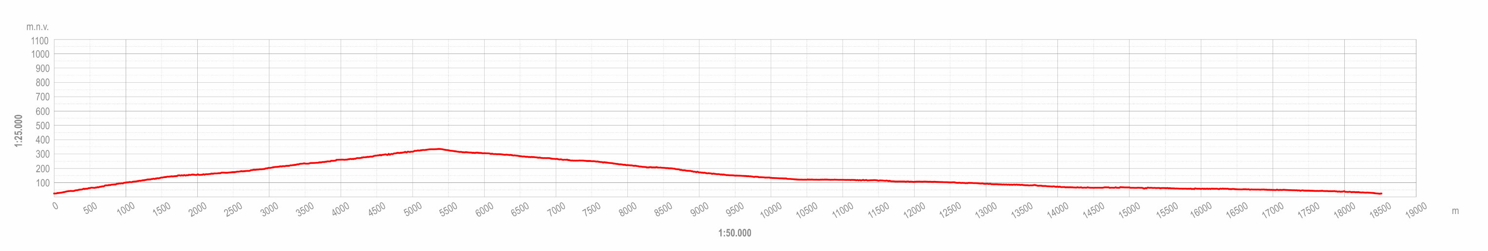
This itinerary is a 19-km road cycling trip of medium difficulty with an increase in elevation of 360 m. It is suitable for road and all other types of bicycle but requires relatively good physical fitness.
The aim of the itinerary is to take visitors through the diverse landscapes of the upper and lower coast of the Mošćenice area and show them the historical urban cores, rural settlements and coastal landscapes of the municipality and Kvarner in general. The estimated cycling time is 2 hours and 30 minutes.
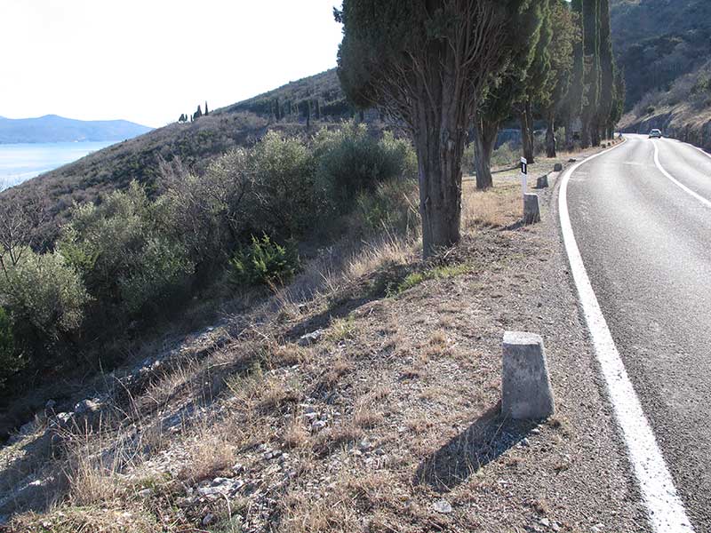
The route starts from the roundabout in Mošćenička Draga in the direction of Mošćenice. Interpretation points are planned at the viewpoint on the bend immediately before Mošćenice. These will provide information about the historic town centre and its surroundings, the tour of Mošćenice, and the view from Kosnica. The ascent then continues towards Sveta Jelena, with another planned interpretation point with a view of Mošćenice and the surrounding cultural landscape. In Sveta Jelena, visitors are directed to the viewpoint behind the small church dedicated to the same saint (St Helena). The route continues along the road near Golovik and Martina, where an interpretation board explaining the view of Brseč and Brseč Plain is planned, and then descends to Brseč. From there, the route returns to Mošćenička Draga along the D66 state road. Along this sub-section, an interpretation viewpoint is planned on the bend above Klančac Beach, as well as bicycle park areas above the beaches of Lučica, Jelenšćica and Uboka. The route ends at the roundabout above Mošćenička Draga.
It is possible to combine the route with the "Učkari MTB" cycling itinerary.