")
")
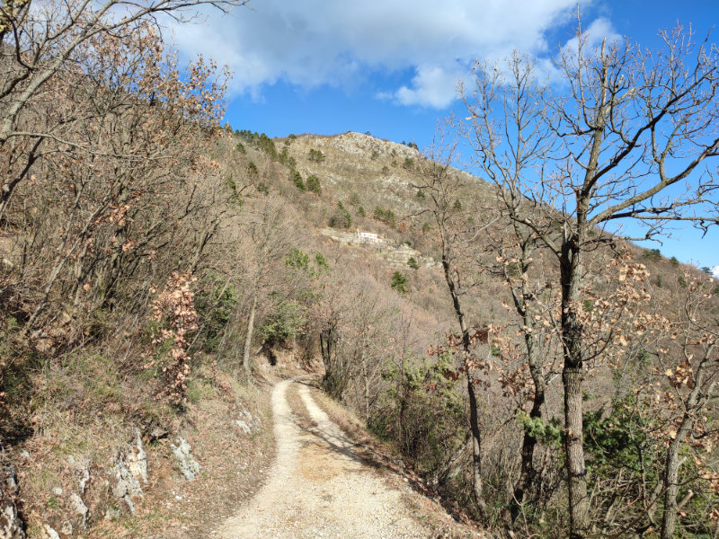
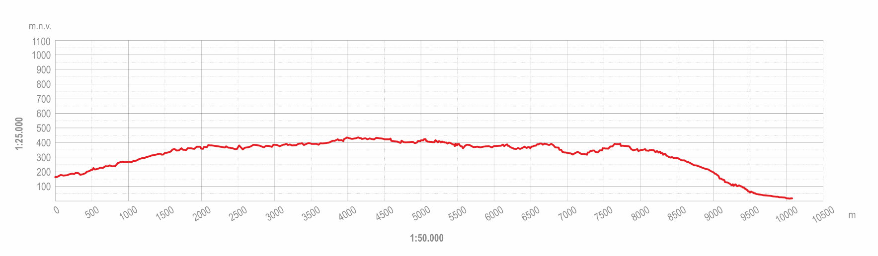
This itinerary is a 10.3-km-long hiking trip of medium difficulty with a difference in elevation of between 350 and 500 m, depending on the direction. It is suitable for a wide range of recreationists and families with older children.
On the Mošćenice side, the route starts from the town loggia and initially follows the road towards Grabrova, where a view of the historic town centre can be enjoyed. After 1,400 metres, the road branches off along the Miller’s Trail, which leads to Trebišća. It passes a historical spring below Grabrova and a viewpoint where an interpretation board of Potoška Vala is planned, arriving in Trebišća, where there are several visitor attractions. The route then continues along the northern side of the Potoška Vala canyon, along which it is planned to set up interpretation boards that explain the surrounding views and landscape. Near the village of Sučići, the route turns onto a historical path, which is in rather poor condition and needs to be repaired and widened, for a length of 360 m. This then joins the existing path to Zijavica Cave. The route continues towards the village of Obrš and descends via the hamlet of Haldej to Mošćenička Draga.
It is possible to combine the route with complementary itineraries: "To Mošćenice and Back"; "Town, Village, Mountain"; "The Kraj Side"; "Local Paths"; "Hiking to the Mountains;" "Trail of the Ancient Gods".