")
")
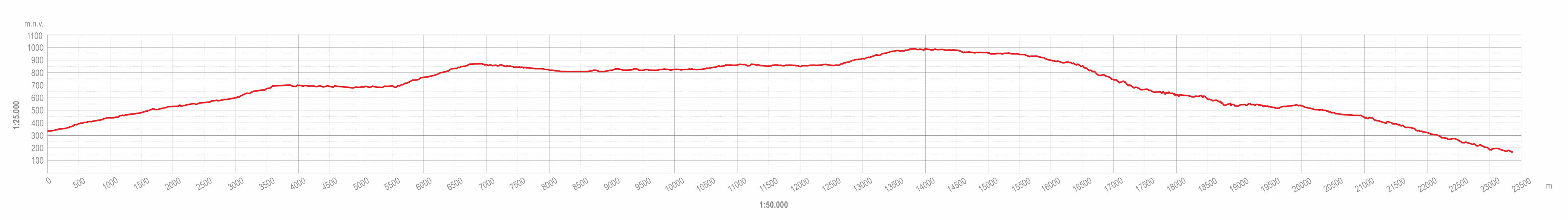
This itinerary is a highly demanding cycling trip of 23.5 km with a difference in elevation of 1,000 m. It is suitable for mountain and gravel bikes; parts of the route are of medium technical difficulty for mountain bikes but very demanding for gravel bikes. A complete tour of the route requires a high level of physical fitness.
The aim of the itinerary is to take visitors through the mountainous parts of the municipality and to present them with the natural and cultural landscape of the valleys and peaks of Učka. The estimated tour time is 6 hours.
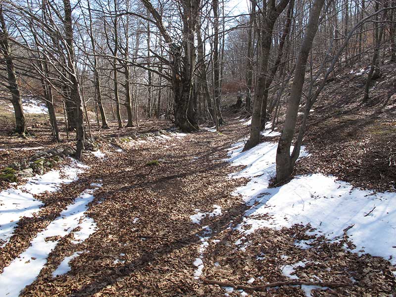
The route separates from the Kvarner Dream cycling itinerary at Sveta Jelena and continues uphill along the asphalt road towards the hamlet of Rošići. A public water tap and an interpretation point about the cultural landscape of the villages in the higher parts of the Mošćenice area are planned here. The route then turns onto a gravel road uphill to the Rovozna Valley, where you can visit the pond and ornithological centre. The gravel road continues uphill to the Doli plateau and Bodaj Hill, where there are also interpretation points. The route leads via the Sinožeti plateau to the hamlet of Podmaj, which was provided with visitor attractions during earlier Učka Nature Park projects. The route continues uphill to the village of Mala Učka, where there is an interpretation point and the opportunity for refreshment. The part between Mala Učka and the crossing below Petrebišća, which follows a marked hiking path (actually a rocky logging trail), is technically the most demanding sub-section and requires further clearing. The route then continues along a better forest road that descends to the village of Grabrova and then along an asphalt road to Mošćenice.
The itinerary can be combined with the "Kvarner Dream" cycling itinerary to access the starting and end points of the route.