")
")
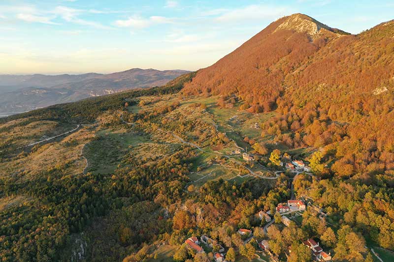
The pasture landscape of Vela Učka and Mala Učka includes a narrow, elongated strip located at the foot of the peak ridge of Učka on its western side. A tour of the area is possible via the Učkari MTB itinerary, starting from Mošćenice or Sveta Jelena, or by reaching Mala Učka by car.
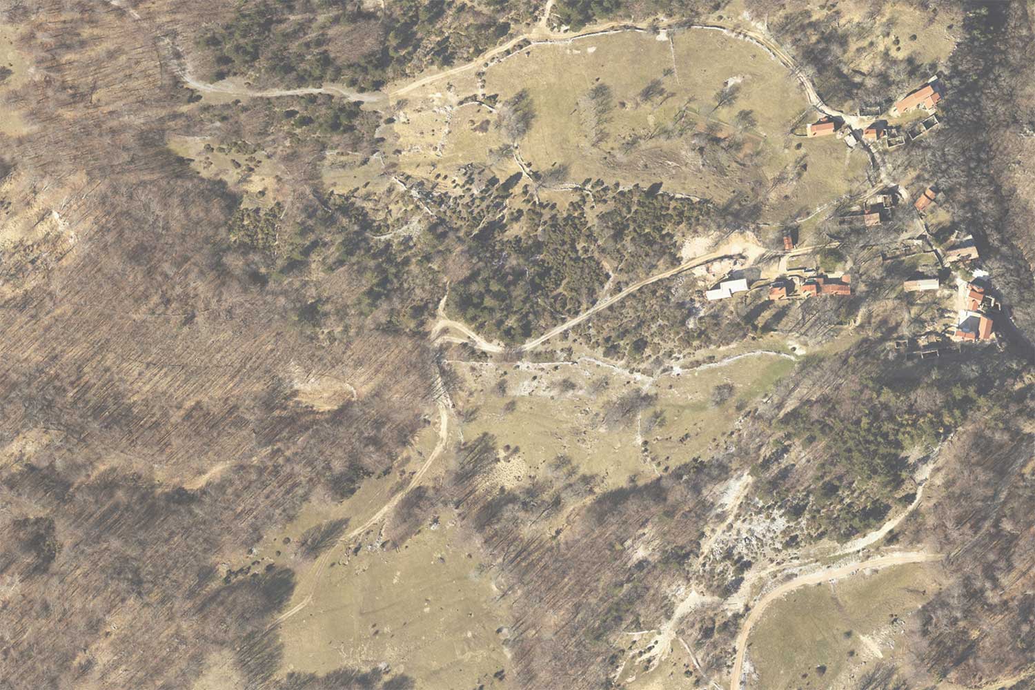
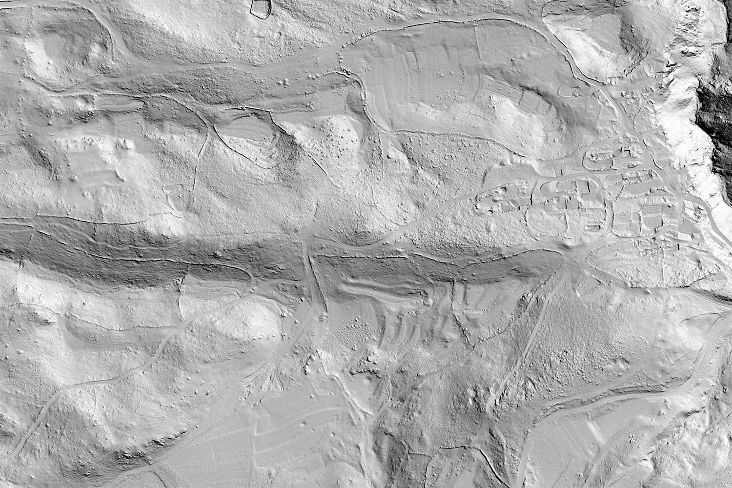
The relief of the area is characterised by partially levelled terrain that extends in a north-south direction. From its centre at just above 1,000 m above sea level, it descends gently towards its edges. The position of the area at the foot of the peak ridge, together with various geological structures, have resulted in several sources of drinking water. Today, the area is mostly covered in forest with relatively large mountain meadows in some parts. Not so long ago, it was quite the opposite: most of the area was covered with hay meadows and large pastures, while forests were mostly restricted to the margins. Next to the settlements, on the fields and in dolines surrounded by dry stone walls, the hardiest agricultural crops were grown. The area is important both naturally and culturally in the form of its pastures and traditional architecture.