")
")
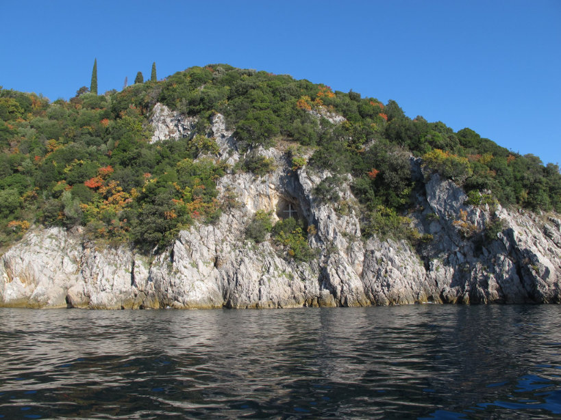
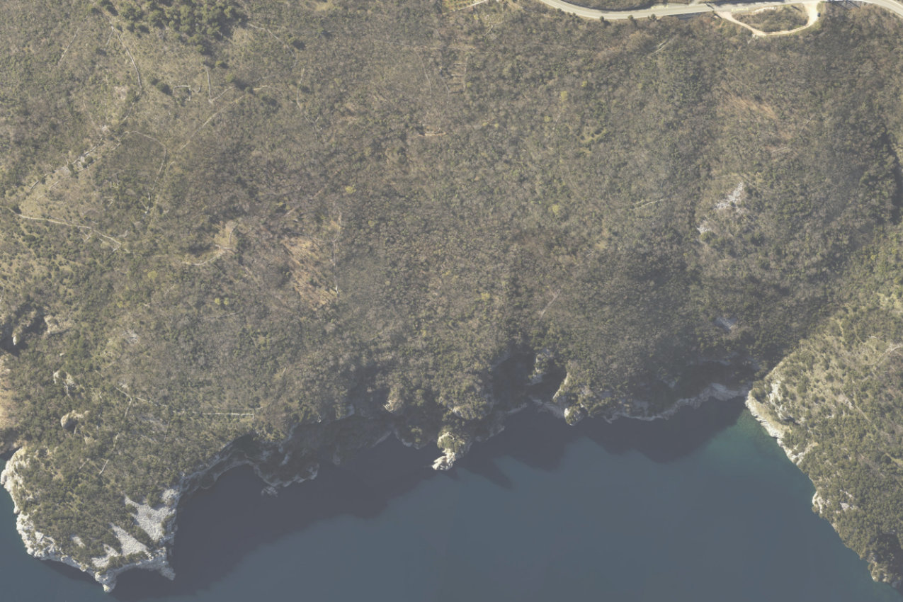
The coastal area of Brseč and Mošćenička Draga encompasses the coastal strip from Stupova Cove in the south to Dve Seki Point and the beach of Sveti Ivan in Mošćenička Draga in the north. The area can be experienced along the Kvarner Dream cycling route and by sea.
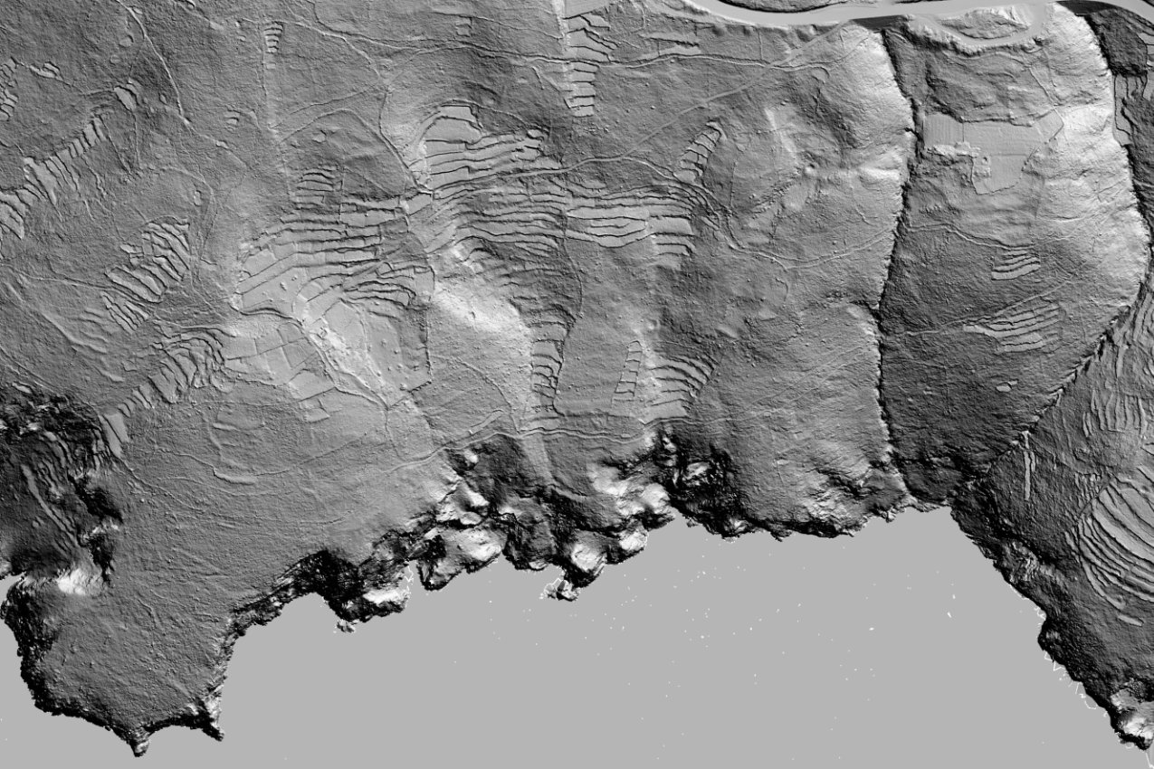
It includes steep slopes inclined towards the coast that in places turn into rocky cliffs (up to 150 metres high). Along the coast, there are numerous escarpments and large amounts of scree, as well as small pebble beaches located at the mouths of ravines that intersect the slopes in a longitudinal direction.
The landscape is characterised by an overgrowth of Mediterranean macchia, which covers most of the area. The succession of vegetation has spread over an area of what was formerly agricultural land, which has been gradually neglected in recent years. Indicators of what the landscape used to look like can be seen in the remaining dry stone terraces and borders, as well as the crowns of olive trees emerging from the dense macchia. The olive trees represent the remains of former olive groves built on dry stone terraces, while the dry stone borders represent the limits of what used to be pastures.
In addition to the dry stone elements of the cultural landscape, the coastal areas of Brseč and Mošćenička Draga are characterised by numerous natural and man-made attractions. These primarily consist of cliffs and high monolithic columns of rock, as well as small traditional structures for storing fishing equipment, with slipways for pulling boats ashore.